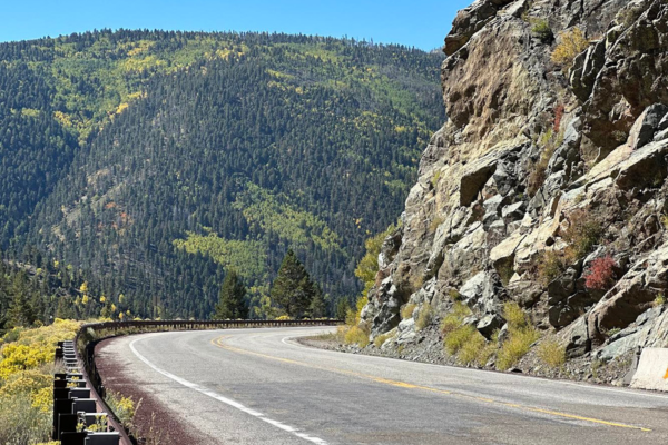
In general, a device using GPS uses signals received from different satellites. These satellites orbit the Earth 12,000 miles above the Earth at any time. They use latitude, longitude, altitude, and time to give you live, accurate information. There are several reasons why your GPS could not be working or leading you in the wrong direction while in Red River. Here are some potential reasons why your GPS may not be reliable in the mountains.
Signal Obstruction in the Sangre de Cristo Mountains
This is when physical structures prevent GPS satellite signals from reaching the receiver. Some obstacles include;
-Mountains
-Buildings
-Trees
If enough signals are not being received, the device may struggle to find the current location of your device or the place you are searching for. Try to put your GPS device, such as your phone, in a location with an uninterrupted view of the sky, such as the dash of your vehicle or even an outer jacket pocket. Generally, we have no control over the GPS, but we can be mindful of how these factors affect signal reception.
We think that Google Maps or Apple Maps can pinpoint our location to the exact location, but that is not always the case. This works best in ideal locations such as major cities and being outdoors instead of indoors. You may experience poor tracking even during the middle of the day with ideal conditions, and this is something we can not change. GPS signals are the reason for this. Your device needs to reach 3-4 satellites and, ideally, 7-8 to provide the most accurate location. This can be difficult in an area such as Red River, where you are surrounded by trees and in the mountains.
Map Data
Sometimes, the data within the map is wrong and will send you to the wrong location. When you put an address in, the device tries to code that address into the map. The daily global user range error is 6.6 feet. GPS enabled smartphones are typically accurate to 16 feet.
As you travel, your signal is bounced from one tower to another, and your signal strength weakens as you move toward the edge of one tower. In remote locations, such as Red River, towers are so far apart that they can’t provide enough consistent signals, therefore getting ‘“lost.”
Satellite maintenance can create temporary gaps. Examples of those gaps include missing roads, businesses, incorrectly estimated street addresses, and incorrectly drawn maps.
Sometimes, a new building or address is not in the system, so that GPS will take you to the closest location. Typing the full address into your GPS, along with the city, state, and zip code, can help you get to your destination. You may want to spell out words you normally wouldn’t, such as street, circle, or lane, instead of the abbreviation used.
Lucky for you, when you stay with Reservations Unlimited, we provide you with driving directions to your property from our office when you complete the check-in process. You may still use your GPS to likely guide you in the right direction, but it is important to follow our written directions as they give you the most accurate information.


