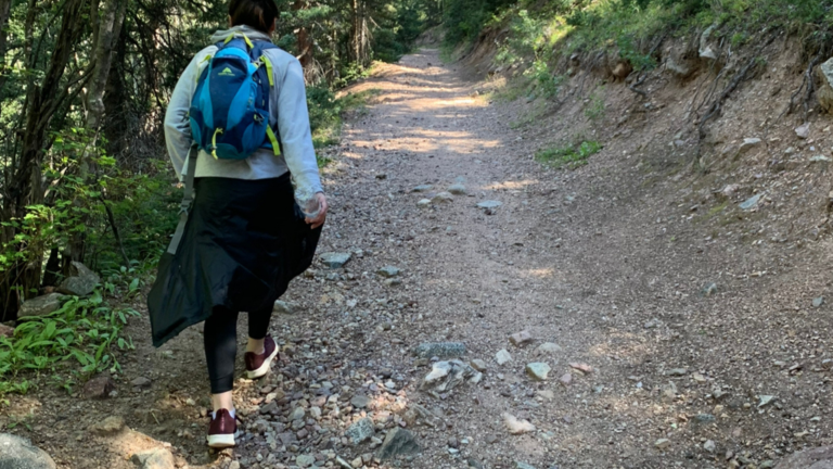
If you love to hike and you have never heard of hiking trails then you’ll want to stick around and read this. You never leave your phone at home when you go on a hike so why not put it to use? Download one of these hiking apps and your phone turns into a compass and GPS. Hiking apps can help you discover more trails other than the ones everyone talks about. If you’re new to the area check out this trail list that Red River has to offer.
AllTrails
AllTrails is one of the most well-known hiking maps out there. Hiking trails can be searched by difficulty, length, route type, and user rating. This app provides trail information such as getting to the trailhead and how long the hike should take. The base version of this app is free but you can purchase the Pro version for $29.99. One cool thing about this app is that it allows you to create custom trails. If you decide to go off the path it will track the way you go so that you may find your way back.
Gaia GPS
Gaia GPS allows you to record your route, find new trails, and save statistics and performance. There is a free version along with a subscription option. The free version is good enough for those who are using it just to day hike as it shows you topographic and satellite maps. Advanced hikers or those who backpack and camp would get more use out of the $39.99 annual version. This version has an offline map which still navigates without cell service.
SpyGlass
With new features like reality navigation, this app operates in 3D and will show you real time location and directions. SpyGlass turns your phone into a speedometer, star finder, and a pair of binoculars among other things. If you’re looking for hiking clothing and hiking gear stop by Taos Mountain Outfitters or check out their website.
PeakVisor
With a snap of a picture this app will tell you which mountain you are looking at using GPS location and image recognition. PeakVisor will even recognize mountains when the app is offline. Included in the app is also a compass which is great for navigating through the mountains. The free version will allow you to use most of the features, but the Pro version that costs $29.99 annually will identify peaks offline.
Google Maps
Google Maps is more than just getting you from your home to Red River. Google Maps also allows you to download hiking trails ahead of time. So before you head to the trailhead, download a few of the trails you think you want to hike! Even without cell service Google Maps will still help you navigate through the mountains.
Spending time outside is good for the soul and with the help of these apps your hiking days can be so much easier. Just download the app, pick your trails and have fun! I hope by now you have a few different hiking trail maps to try before deciding on your favorite.